Building a Data Literate Generation through Civic Tech Education
Increasing Student Engagement through Local
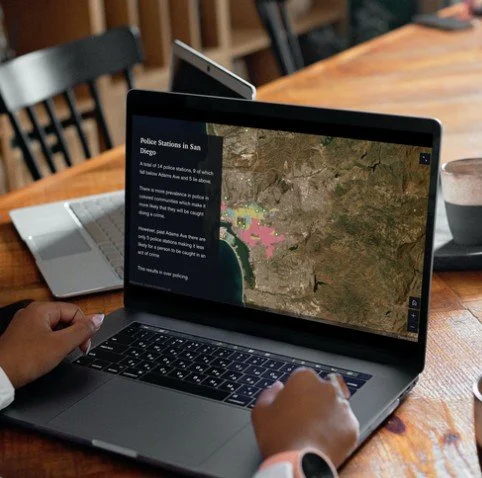
Data is all around us and is making its way into every fabric of our society. Understanding it is essential to critical thinking.
Districts We Have Worked In
Career Pathways
Students Served
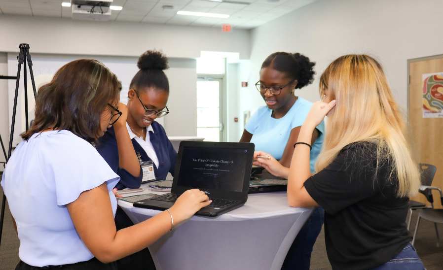
We get students investigating questions that are part of their everyday lives:
Why do floods in my neighborhood last longer?
What impacts do data centers have on my community?
How do zoning decisions actually get made?


Built to fit your District’s
We'll help you identify which model fits your capacity and goals before any commitment is made.
In-school
Integrated into existing electives, social studies, or science courses, all aligned to your State’s standards.
Afterschool
A structured enrichment program that builds skills over a semester without interfering with the school day.
Summer
Intensive cohort-based programming culminating in a student capstone and a public-facing presentation.
Data is the entry point. Critical thinking is the outcome.
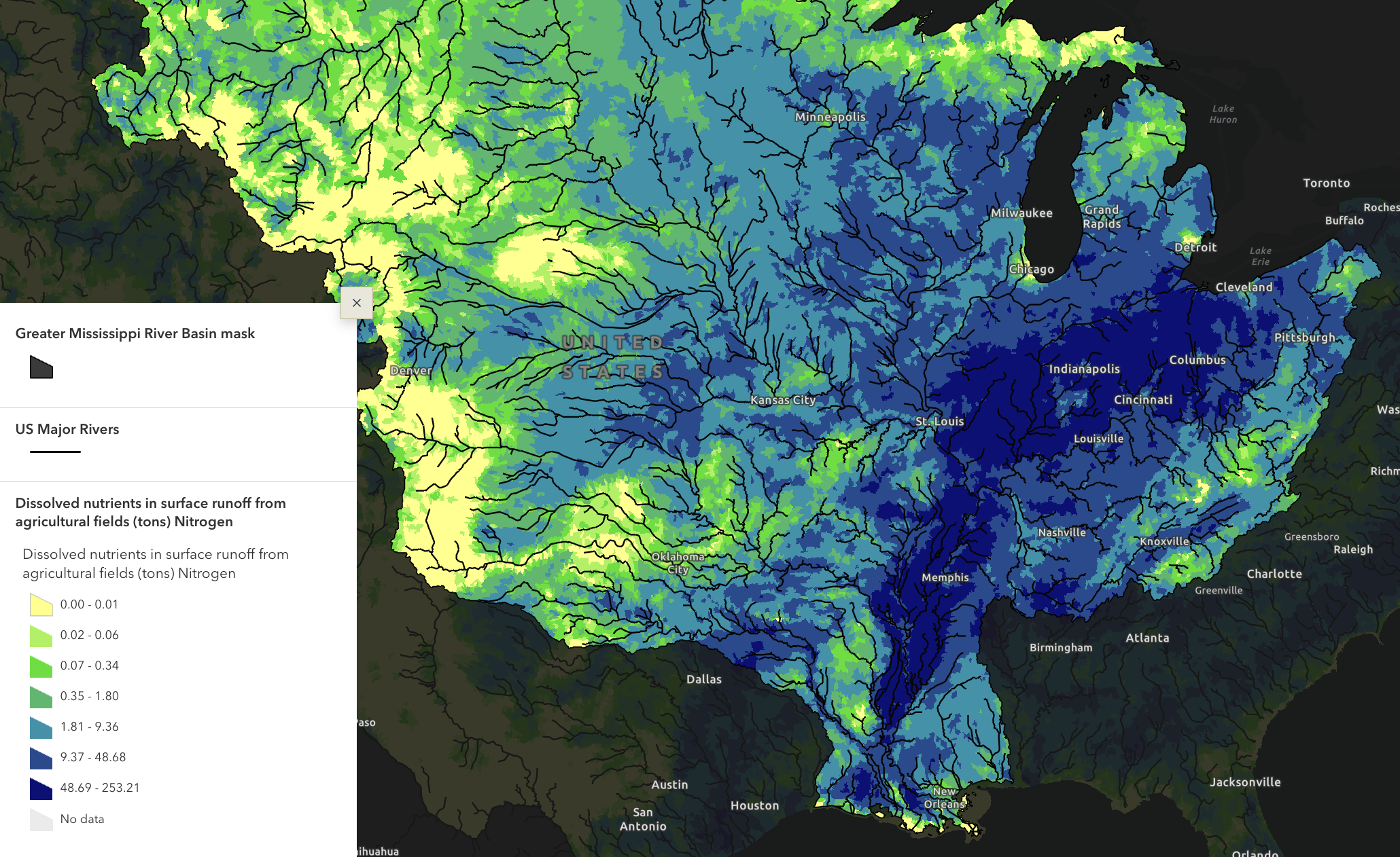
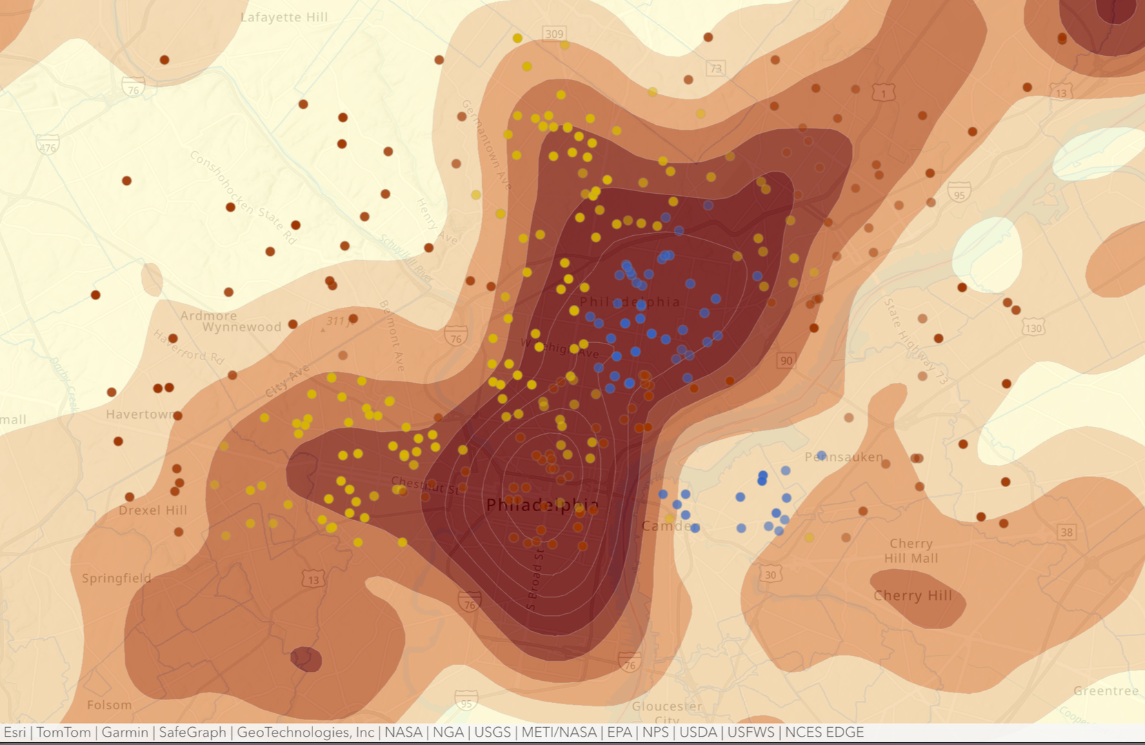
Our world runs on data and most of it is invisible to the people it affects most. Maps and dashboards make it visible and accessible. They turn abstract civic and climate data into something middle and high school students can see, question, and act on, right at the level of their own block.
Students who are exposed to GIS and other mapping technology can lead in a range of industries.
Mapping gives them the tools to investigate the places they actually care about, and the work sticks because it's theirs. They will walk away with technical proficiency, critical thinking, and more confidence in applying these skills for post-graduation success.
-
Partner with trubel&co to expand equitable STEM access for high school students, advance responsible innovation, and use technology as a force for social impact.
-
This interactive workshop equips experienced facilitators to bridge the data gap in the social justice sector using geospatial technology and ethical AI.
-
EcoGIS is a workshop series that empowers community members to use GIS to map socially just and environmentally sustainable futures. Participants learn how to apply geospatial technology and design thinking to advance equity, civic action, and real-world environmental change.
-
Students explore climate and social justice issues in their communities while learning the fundamentals of GIS through a hands-on, project-based experience.
Featured Projects
-
![The 2023 Maui wildfires, with a focus on the devastation in Lahaina, reveal the profound impacts of climate change on vulnerable communities. The project examines the intersection of human resilience, environmental challenges, and the urgent need for]()
The Economics of Environmental Health
The 2023 Maui wildfires, with a focus on the devastation in Lahaina, reveal the profound impacts of climate change on vulnerable communities. The project examines the intersection of human resilience, environmental challenges, and the urgent need for solutions.
Sei S., Sage K., Audrey M. | Mapping Justice Hawai’i 2024
-
![]()
Hurricanes and Their Effects on the Florida Population
Mapping the connection between community wellbeing and tropical cyclones.
Anna Z., Dominic S., Angel W. | Mapping Justice Florida 2024
-
![]()
Wastewater's Contribution to the Coral Bleaching Crisis
Coral bleaching, a critical yet often overlooked environmental issue, threatens ecosystems and coastal communities, especially in regions like Florida, as warming oceans and poor water conditions take their toll. Highlighting wastewater's role in this crisis, raising awareness, and fostering action are essential to mitigating damage and protecting both natural and human systems.
Amber I. | Mapping Justice Florida 2023
-
![]()
Measuring the Impact of Agricultural Fumigants in Hawaii
How Fumigants Disrupt and Contaminate Hawaii’s Watersheds, Marine Life, and Local Demographics
Ailani C. and Camryn I. | Mapping Justice Hawai’i 2024


